Front Panorama
 Rear Panorama
 Context Aerial
 Aerial
What I initially was looking for in choosing my site was a place that could incorporate both an open landscape condition and a more dense urban condition. However, the contrast shouldn’t be so strong, i.e. not Central Park in New York.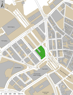
The site I chose is the Big Dig Parcel # 2, towards the North Station end of the Rose Kennedy Greenway. I saw potential in this site because of its strong connection to a landscape idea that is the greenway, as well as strong urban connections. It is directly connected to infrastructure being adjacent to both North Station and Haymarket. It also gives me the opportunity to link together two neighborhoods that were once torn apart by the central artery, Bulfinch Triangle and the North End. The site size is roughly 52,000s.f, and would be an opportune space to all of the program conditions stated above. Figure Ground
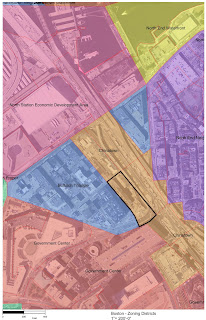 Zoning Map
 Street and Wharfline Changes
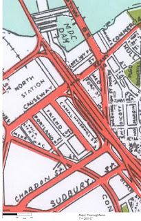 Major Thoroughfares
 Elevated Railway Lines
The approach I decided to take as far as starting to develop some in-depth analysis of the site, I wanted to look at its evolution since it was apart of the first few landfills in Boston. I gather historical maps, aerials and photographs to get a better understanding of the site.
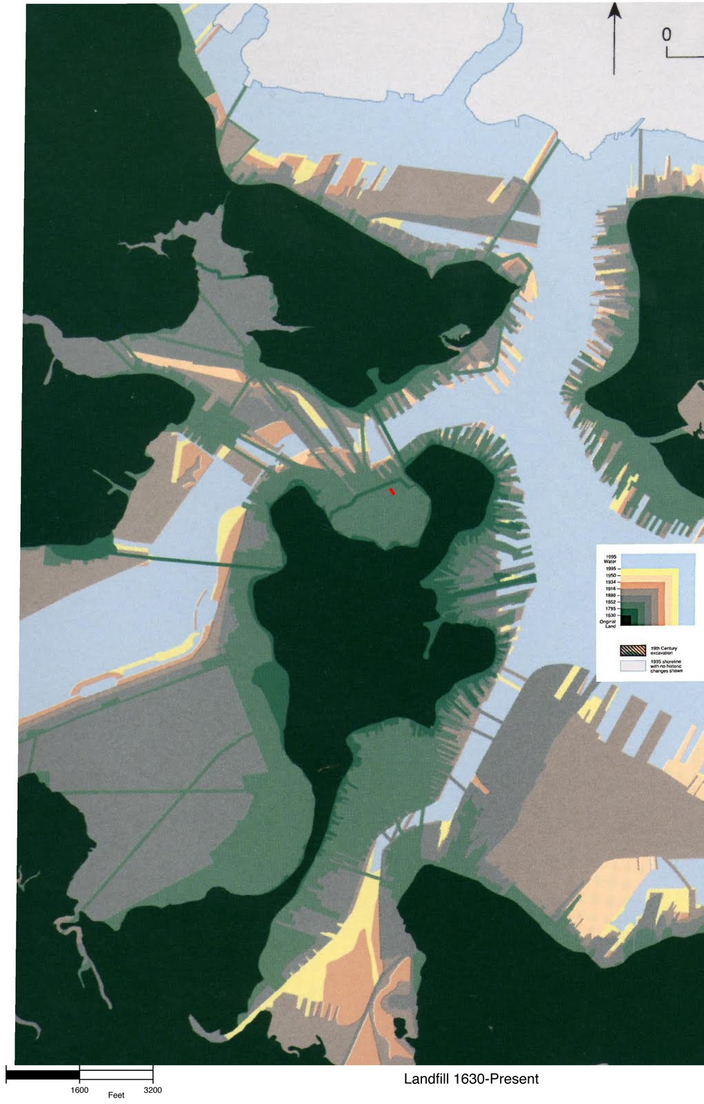
 Boston Landfill Overtime
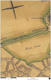 1775
1775 1808 - Master-plan for Bullfinch Triangle street grid after landfill
 1826 - Causeway Wharf and separation of Wards
 1852 - Expansion of Wharf and Bridges to Charlestown
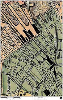 1881 - Railway plans for North Station
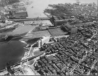
 1923 Aerial of Downtown - North End
 1930 - North Station
 1946 Aerial, showing Haymarket and Scollay Square
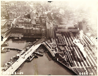 1949 - North Station and the Bulfinch Triangle
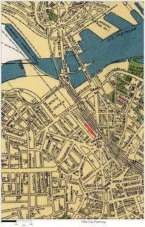 1954 - Plan for elevated Central Artery
 1955 - Artery is Constructed
 The impact of the artery on Boston's neighborhoods
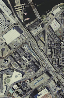 2003 - Artery still up and in use, construction on the "Big Dig" will put it underground
 Today - Now with the highway underground, the artery still exists as a greenway, dividing Government Center and Bulfinch Triangle from the North End.
 Site Morphology, changes to surrounding context overtime
 Time-line of events surrounding the site
 Scales of the Greenway
 Sight-lines informing interior forces
 Scales of the Greenway
 Sight-lines informing interior forces